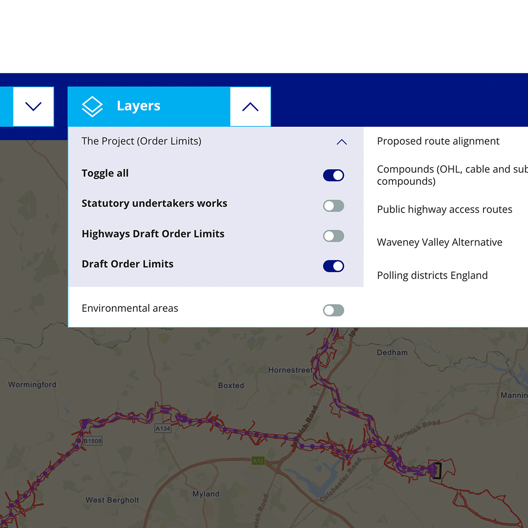

As part of the National Grid Norwich to Tilbury Great Grid Upgrade, an interactive map was designed for the public consultation website.


The interactive map consisted of a multi-layered map which could be toggled on/off with the drop-down menu to show specific technical information relating to the current proposals. It provides you with the opportunity to view the entire project length and also allows you to zoom into specific project sections by using the drop-down menu. You can also manually zoom in to any point on the map and jump to a specific postcode that you enter.
My role was to use the consultation website template and enhance the map to improve the user experience. The UI was simplified to allow you to toggle between layers and sections without scrolling away from the map. This was designed and prototyped in Figma to showcase to the developers.